
Jefferson Postal Coverage by ZIP
Jefferson County is a multi-city coastal county, so postal labels do not match municipal boundaries one for one. The reviewed county ZIP compilation identifies the delivery labels in the table below. It includes standard delivery areas and PO Box listings for Beaumont, Port Arthur, and smaller county communities. The entries describe postal geography, not a promise that every address carrying a place label falls inside that city’s limits. Confirm a specific delivery address with USPS before attaching it to a Jefferson property, voter, or municipal record. A Jefferson County verification keeps the postal result tied to a real address.
| Postal ZIP | Area or post-office label | Delivery type | Jefferson note |
|---|---|---|---|
| 77613 | China, Jefferson County | PO Box listing | China service-center address uses this label. |
| 77619 | Groves, Jefferson County | Standard delivery | Residential and delivery area. |
| 77622 | Hamshire, Jefferson County | Standard delivery | Rural or unincorporated geography may not match town limits. |
| 77627 | Nederland, Jefferson County | Standard delivery | The county compilation lists a large Nederland area. |
| 77629 | Nome, Jefferson County | PO Box listing | Postal place label, not a boundary finding. |
| 77640 | Port Arthur, Jefferson County | Standard delivery | Also used by a county sub-courthouse address. |
| 77641 | Port Arthur, Jefferson County | PO Box listing | Use USPS to verify a specific mailing address. |
| 77642 | Port Arthur, Jefferson County | Standard delivery | Port Arthur postal area. |
| 77643 | Port Arthur, Jefferson County | PO Box listing | Use a physical situs separately. |
| 77651 | Port Neches, Jefferson County | Standard delivery | Port Neches postal area. |
| 77655 | Sabine Pass, Jefferson County | Standard delivery | Coastal-area label. |
| 77701 | Beaumont, Jefferson County | Standard delivery | Downtown and county-seat core. |
| 77702 | Beaumont, Jefferson County | Standard delivery | Beaumont postal area. |
| 77703 | Beaumont, Jefferson County | Standard delivery | Beaumont postal area. |
| 77704 | Beaumont, Jefferson County | PO Box listing | County Clerk and Tax Office mailing addresses use it. |
| 77705 | Beaumont, Jefferson County | Standard delivery | The compilation includes extensive southern and rural county area. |
| 77706 | Beaumont, Jefferson County | Standard delivery | Beaumont postal area. |
| 77707 | Beaumont, Jefferson County | Standard delivery | Listed in the reviewed county compilation. |
| 77708 | Beaumont, Jefferson County | Standard delivery | Beaumont postal area. |
| 77710 | Beaumont, Jefferson County | PO Box listing | Postal label only. |
| 77713 | Beaumont, Jefferson County | Standard delivery | Includes western and northern county-facing addresses in local use. |
| 77720 | Beaumont, Jefferson County | PO Box listing | Postal label only. |
| 77725 | Beaumont, Jefferson County | PO Box listing | Postal label only. |
| 77726 | Beaumont, Jefferson County | PO Box listing | Postal label only. |
The compilation also includes 77707, even though some national tables omit it or merge delivery labels. That conflict is a reason to verify a single Jefferson address rather than publish an untested “complete” result. A postal listing is a routing label. It does not establish a city limit, a parcel boundary, an incorporated place, or who is currently at the address.
Jefferson Postal Places and PO Boxes
The Beaumont and Port Arthur labels carry both standard delivery areas and several PO Box listings. China and Nome also appear as PO Box labels, while Hamshire and Sabine Pass appear as standard delivery areas in the reviewed compilation. That matters when a Jefferson record shows a mailing address. A PO Box can be the right destination for correspondence without locating the physical parcel. The same caution applies to a tax or appraisal mailing address, which can be outside Jefferson County or belong to an agent, entity, or owner at another location.
Nederland, Groves, Port Neches, and the smaller coastal or rural communities add another local wrinkle. A place may be a postal community, a small municipality, or an unincorporated area with a distinct tax or service jurisdiction. Jefferson CAD lists not only cities but also school districts, navigation and port authorities, drainage districts, MUD or WCID entities, and emergency-service districts. When the question concerns jurisdiction, use the parcel’s taxing-unit list and a city or county boundary source rather than the postal label alone.
Note: Postal delivery labels are helpful locators, but the situs address and legal description carry more weight in a Jefferson land-record search.
Find Jefferson Residents by ZIP Code
A postal area can narrow research, but the local portals do not all offer a direct ZIP filter. Jefferson CAD’s fetched search uses street, neighborhood, subdivision, condo, abstract, property type, tax year, and identifiers, not a visible ZIP field. The Jefferson Tax Office accepts an owner, an address that starts with the entered text, account number, CAD reference number, or fiduciary number. The practical method is to verify an address, use the portal’s address or geographic fields, and keep the postal label as one part of the result rather than the only search key.
- Use USPS to verify the delivery label for the exact Jefferson address. Save the return as a current postal check, not as a parcel or city-boundary record.
- Search the address in Jefferson County Appraisal District Property Search. Record the situs, mailing address, property or geographic ID, legal description, neighborhood, subdivision, and tax year.
- Check the Jefferson County Tax Office account search by property address or owner, then compare its account or CAD reference with the JCAD result.
- Use the Jefferson County GIS or a Census ZCTA map as geographic context, then verify the individual parcel’s local fields. ZCTAs are not USPS delivery boundaries.
- If a lawful voter-file request is needed, use the Secretary of State’s documented Form 24-1 process and its county or precinct controls. The individual voter tool is for a known registration, not a ZIP-wide browsing list.
After a postal area narrows the search to one street, the Jefferson street directory supplies the address-by-address parcel, deed, map, and historical workflow.
Jefferson ZIP Search Fields and Limits
Jefferson research often requires a field that stands in for a postal filter. The table shows the documented choices. It also explains why a claimed countywide ZIP result needs careful review. JCAD’s useful tip is to enter a simple street name when a fully formatted address fails. That can surface the right parcel, but it does not turn the property form into a postal-area directory. Likewise, the Tax Office’s address-starts-with option can locate a group of accounts only after the street pattern is known.
| Portal field or control | Jefferson use | Postal relevance |
|---|---|---|
| USPS address lookup | Check a specific delivery address. | Confirms the current routing label for that address. |
| JCAD Street Number and Street Name | Find a situs parcel, using the plain street name if formatting fails. | No visible postal-field search was captured; verify the parcel result. |
| JCAD neighborhood, subdivision, condo, abstract, or geographic ID | Narrow a Jefferson property search geographically. | Useful context after an address check, not a direct postal filter. |
| Tax Office property address starts-with | Find an account by an address prefix and compare the CAD reference. | Can support manual grouping after the physical addresses are reviewed. |
| SOS Form 24-1 county or precinct scope | Request a lawful voter file through the documented affidavit and payment route. | The released layout includes permanent and mailing ZIP fields, but the reviewed form has no standalone ZIP-only control. |
The distinction prevents a common error: a searchable portal does not necessarily let a researcher produce a complete postal-area roll. Jefferson CAD and the Tax Office answer parcel and account questions. The voter-file route has legal conditions, a deposit, an affidavit, and geographic controls. USPS answers delivery routing for an individual address. These are complementary tools, not interchangeable lists.
Where Jefferson ZIP Codes Meet City Limits
Jefferson County’s postal geography crosses municipal, coastal, and unincorporated contexts. A mailing label can say Beaumont while the parcel lies outside Beaumont’s incorporated boundary. A Port Arthur label can serve industrial, coastal, or nearby county geography. China, Hamshire, Nome, and Sabine Pass may be postal places or county communities where municipal boundaries are small or absent. Nederland’s historical directory material is also a local coverage quirk: the reviewed research places it in Beaumont and Port Neches-related directory coverage rather than a separate city-directory run.
- ZIP and ZIP+4
- The first part is a delivery-routing label; the added four digits narrow sorting for a more specific delivery segment.
- PO Box label
- A postal label assigned to boxes rather than proof of the physical place where a person or parcel is located.
- Unique postal label
- A label that can serve a distinct institution or delivery arrangement, rather than a standard residential area.
- Carrier route
- A postal delivery sequence used for routing mail. It is not a legal parcel boundary or a city-limit line.
The Census Bureau warns that ZIP Code Tabulation Areas can differ from USPS delivery ZIPs. A ZCTA may be noncontiguous or represent mixed delivery, a unique institution, or PO Box service. Use a current USPS check for delivery and an official local map or parcel record for jurisdiction.
Check a Jefferson Address with USPS
A current USPS address result is the right first check when a Jefferson postal label is uncertain. It is especially useful for the PO Box entries in the county compilation and for addresses near city or county edges. The result should be saved with the date of access, then compared to the JCAD situs and mailing fields. If the sources disagree, do not force them into one answer. The different fields may be describing delivery, correspondence, and parcel location rather than an error.
The USPS ZIP Code Lookup provides the official address-based check used to confirm a current delivery result.
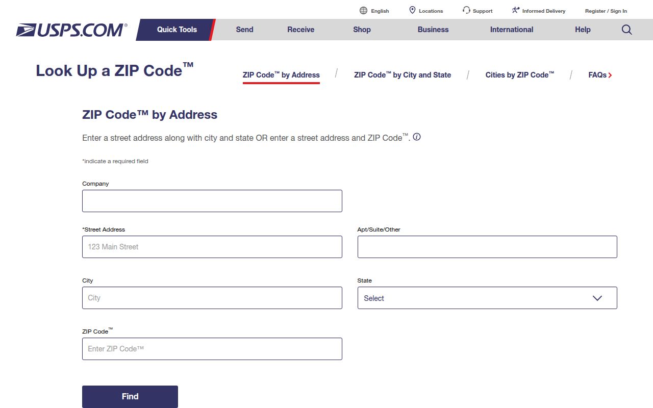
USPS confirmation keeps the postal part of a Jefferson record trail current. It does not identify the parcel owner, establish city jurisdiction, or replace a county record.
Jefferson Maps and Taxing Units
Map layers can make a Jefferson postal question easier to see, but they must be used for the right task. County GIS helps locate a parcel, its street geometry, and related owner or address attributes. Beaumont’s public hub adds zoning, floodplain, permit, code-enforcement, utility, and environmental layers. The city says those public maps are general-information maps, so a map result should lead to the official file when a permit, case, boundary, or jurisdiction matters. Postal labels and map labels can each be useful without being the final legal description.
The Beaumont Interactive Maps hub is the municipal map source for public address and service layers.
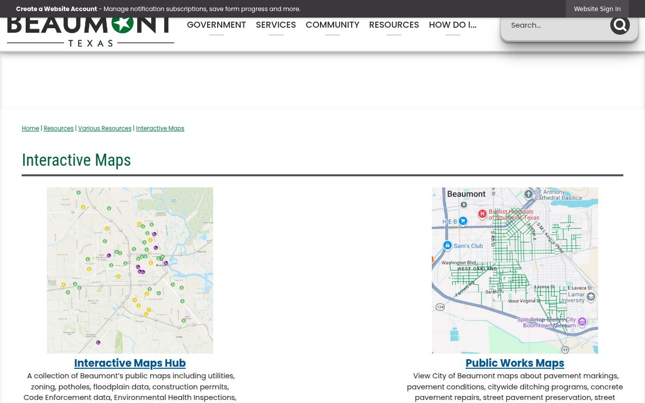
For a Jefferson address near a city edge, compare the map with the JCAD taxing-unit list and the legal description. That combination is stronger than assuming the postal city names the governing city or service district.
Limits of Jefferson Postal Labels
A postal label can help organize a search, but it does not create a complete list of people in a delivery area. Property records identify ownership and a parcel connection, not every occupant. A voter address or participation field is subject to Texas access rules and protected-address exceptions. Utility customer lists, driver-license residence data, and private household information are not ordinary public postal records. Use the narrowest public result that answers the question, name the custodian and access date, and preserve the difference between a mail address and a physical location.
Lawful use. Jefferson postal and address records are for personal, lawful research and civic context. Do not use them to stalk, harass, intimidate, or harm anyone.